Increasing the Agricultural and Rural Planning Unit’s (UPRA) technical capacity to monitor agricultural activities in Colombia

Back to main page 

     Camnexus

Project country: Colombia

Sector: Nature
Expert Partners: CAMNEXUS Ltd

This skill-share increased the Agricultural and Rural Planning Unit (UPRA)’s technical capacity to monitor the agricultural frontier in Colombia and to identify deforestation and land degradation processes caused by agricultural expansion in the Páramos ecosystems.

UPRA is the agency responsible for the design and implementation of criteria, regulations and instruments to enable sustainable agricultural land use in Colombia. This includes allowing the development of Colombia’s rural areas and guiding the drafting and implementation process of public policies that promote an efficient use of the land and foster development.

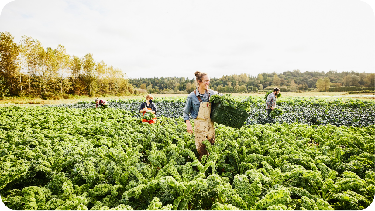
Aiming to reduce deforestation and support the conservation of more than 384,000 hectares of Páramo that are endangered due to the expansion of the agricultural frontier, UPRA requested expert guidance to improve their capacity to monitor and control páramos degradation caused by potato production, and to promote sustainable land conversion, thus helping to reduce carbon emissions and foster inclusive economic growth in rural communities.

The skill-share experts developed and built research tools, namely algorithms and multitemporal maps, using the Guerrero Páramo as the object of study. These were prepared to enable their application and adaptation to any ecosystem with similar conditions, for instance, Santurbán Paramo. Multi-temporal maps made it possible to identify changes in land use, particularly the advance of agriculture and deforestation in the Páramos. This analysis allows the identification of the most suitable areas for crop plantation according to climatic and geographical conditions. Additionally, the experts shared their technical skills in the use of open-source software and programming language instrumental in the further development of research tools.


 Counterpart:
 
    UPRA.LOGO


Screenshot 2023-03-10 123041


SS&S quotes images parramo


     Key facts

——
  • Páramos are a unique high-altitude moorland ecosystem, distributed largely across the Andes of Colombia, Ecuador, Perú and Venezuela.
  • The páramos ecosystem plays a fundamental role in sustaining the lives of millions of people, providing essential ecosystem services such as water production for urban use, irrigation and hydropower generation.
  • In addition, high-altitude conditions of the páramos have resulted in highly carbon-dense soils which act as efficient and important carbon sequesters.
  • Through the use of satellite imagery, this skill-share aims to identify areas of deforestation and support the conservation of more than 384,000 hectares of Páramo that are endangered due to the expansion of the agricultural frontier.

Key achievements

——
  • In addition to strengthening technical skills, the skill-share allowed UPRA to establish a team that could assess the environmental impact of areas beyond potato agriculture through the use of mapping tools.
  • The newly imparted skills will allow UPRA to monitor key agricultural activities such as the farming of palm oil and cattle, and report soil degradation and unexpected actions that create expansion of agricultural frontier.
  • UPRA better understands the relevance of monitoring the agricultural frontier to protect areas of environmental interest, such as paramos.
  • Empowered by new skills and knowledge, UPRA is better placed to support the fulfilment of Colombia’s NDC commitments and to work with other institutions, such as the Ministry of Environment, to monitor areas of environmental interest that are threatened by agriculture.